Geographic Information Systems
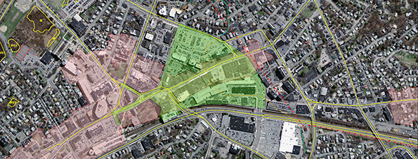
Geographic Information Systems (GIS) are an integral tool in analysis and planning. GIS allows us to visualize, evaluate, analyze, and interpret data prior to the design stage of a project. Lucas Environmental uses available GIS data to identify potential environmental constraints and “project killers” before our clients incur the costs associated with survey and engineering. Lucas Environmental works closely with the design team to analyze data and prepare an approach prior to field verification of environmental issues.
Lucas Environmental professionals are GIS certified and offer the following services:
- Research
- Due Diligence & Feasibility Studies
- Environmental Analyses
- Viewshed Analysis
- Cartographic Design